The route begins in Vila Real de Santo António, a city with a fantastic location, bordered by the Guadiana River estuary to the east, the beach to the south, the pine forest to the west, and the Marshland Nature Reserve of Castro Marim and Vila Real de Santo António to the north.
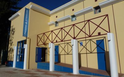
The historic centre is laid out in a geometric pattern, with all streets leading to Marquês de Pombal Square, home to the Nossa Senhora da Encarnação Church. Other notable landmarks include Vila Real de Santo António’s Lighthouse and the António Aleixo Cultural Centre.
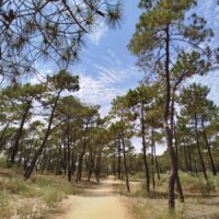
National Forest of Coastal Dunes connects Vila Real de Santo António to Monte Gordo through a stretch of pine trees that extends for 3 kilometers.
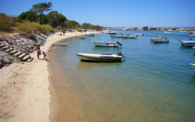
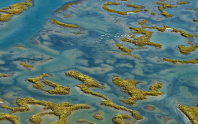
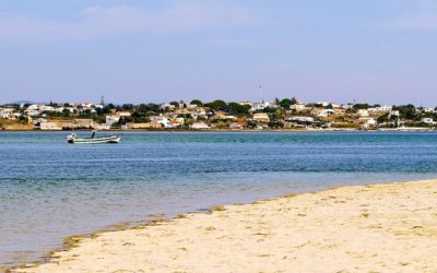
Continuing along the route you’ll reach Monte Gordo Bay, a vast beach with calm waters. Here, you can see vibrant fishing boats and traditional fishing methods. Further down the coast, you’ll find other beaches, such as Cabeço, Verde, and Alagoa, all with extensive sand dunes and typical flora, as well as Manta Rota Beach. Manta Rota Beach offers a large sandy area and is located on the eastern edge of the Ria Formosa Natural Park, a lagoon area with significant ecological, economic, and social value.
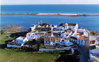
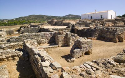
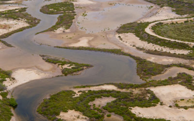
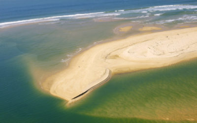
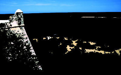
From Manta Rota Beach, you can walk along the Ria Formosa to the historic village of Cacela Velha, where you’ll encounter a fossil cliff, remnants of a Roman sidewalk, and dune and marshland ecosystems, as well as the Fortress of Cacela Velha. You can also visit Cacela Velha Beach, on the Cacela Peninsula, which acts as a natural barrier against the advancing sea.
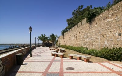
Afterwards, you’ll arrive in Cabanas, a place rich on natural heritage. Here, we recommend a walk along Ria Formosa Avenue which offers stunning views of the coast and estuary, and a visit to Cabanas Beach and São João da Barra Fort.
Shortly after, you’ll reach Tavira, a town implanted on the banks of the Gilão River with a vast natural and built heritage. Tavira includes heritage like the Rato Fort, Castel and Tavira Walls, religious buildings, and the old bridge over the river.
The route then passes near the villages of Santa Luzia and Luz de Tavira, where you can find several beaches located on the islands of Tavira and Cabanas, along with salt pans, salt marshes, and dunes within the Ria Formosa Natural Park.
Tavira is known for being a representative community of Portugal, on a gastronomic level, applying the Mediterranean Diet as Intangible Cultural Heritage of Humanity.
Continuing the route, you’ll cross Olhão, where you can admire various monuments and sites of historical and architectural importance. Olhão also boasts beaches within the Ria Formosa Natural Park, offering an exceptional landscape.
From Olhão, you can take boats to reach the Fuseta village, where you’ll find a beach with the same name. Additionally, you can also visit Culatra and Farol Islands.
Next, you’ll enter the county of Faro. Faro boasts a rich cultural and architectural heritage, a legacy of its past inhabitants. The essential places to visit in Faro includes the Arco da Vila, the Cathedral, the Ordem Terceira de São Francisco Convent and Church, the Walls, the Carmo Church, and the National Museum. In terms of natural heritage, you must visit the Ria Formosa Nature Reserve, the Manuel Bivar and Alameda João de Deus gardens, and beaches.
The beaches of this region are located between the Ancão Peninsula and Culatra Island, forming an extensive chain of dunes that characterize the Ria Formosa Natural Park. The Faro Barrinha beaches are situated on the Ancão Peninsula, Barreta Beach is on Barreta Island, and the Farol and Culatra beaches are on Culatra Island.
Before departing Faro, make sure to try the typical Algarvian desserts, especially the typical “Dom Rodrigo” and “Morgados” (almond pastries).
This section, covering 69 kilometers, is part of the Ecovia do Algarve, a 214-kilometer cycling route that connects Vila Real de Santo António (Section 1) to Sagres (Section 5), crossing 12 counties along the southern coastline of the Algarve.
[Last update: 10/12/2024]




Comments: Section 1